Precision Geospatial Solutions
From Photogrammetry to LiDAR – we deliver accurate, actionable geographic data for infrastructure, environment, and planning.
High-precision 3D models and orthophotos from aerial imagery for mapping, surveying, and volumetric analysis.
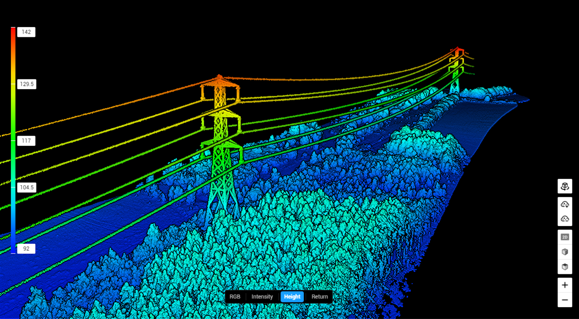
Automated classification of powerline corridors from LiDAR point clouds for vegetation management and asset inspection.
Accurate 2D vector mapping of roads, buildings, water bodies, and land cover from orthoimagery and LiDAR.
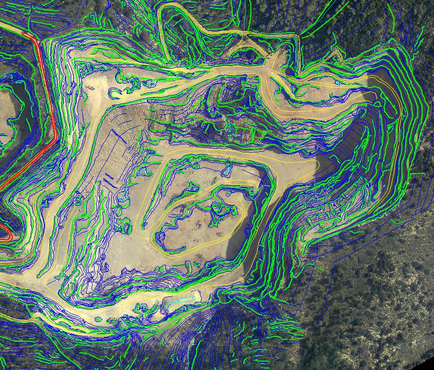
Bare‑earth digital terrain models by filtering vegetation, buildings, and other above‑ground features from LiDAR.
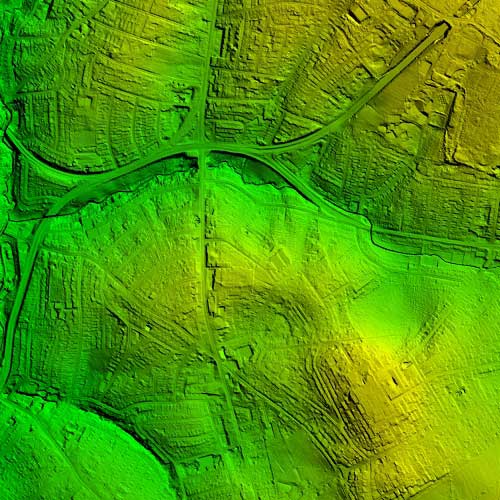
Detailed Digital Surface Models capturing all above‑ground features, including buildings, vegetation, and infrastructure.
We provide advanced LiDAR solutions for mapping, surveying, and autonomous systems. Our services include data acquisition, processing, and 3D modeling to deliver accurate spatial information.