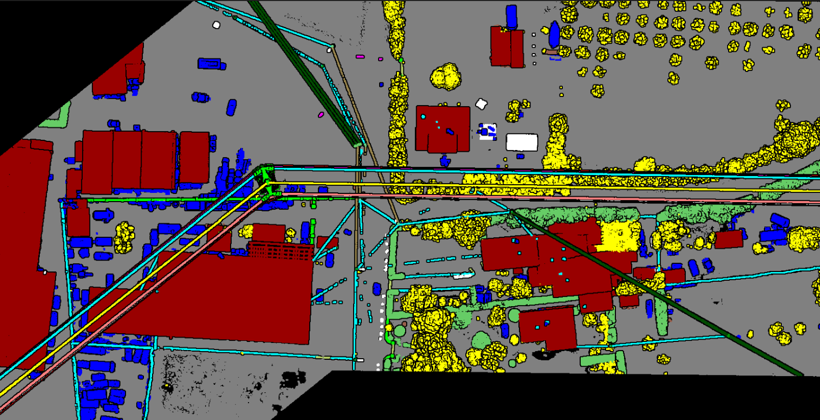
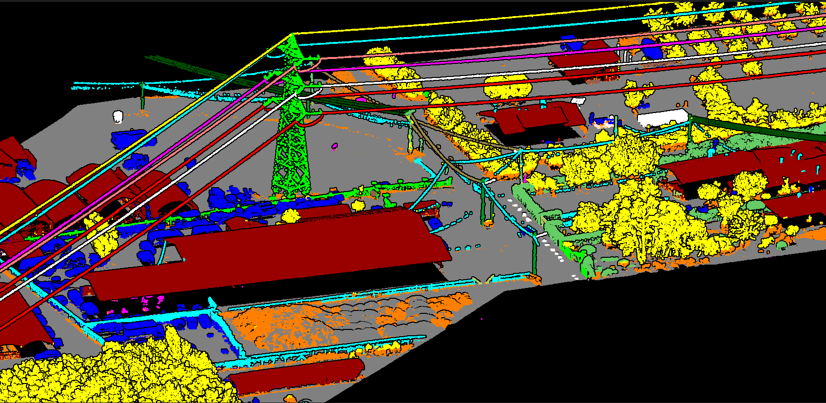
A Digital Surface Model (DSM) captures the globe's natural and artificial features, distinguishing between the ground surface, vegetation, and man-made objects. These models provide a comprehensive 3D representation of the environment, essential for applications ranging from RF planning and landscape modeling to complex city visualization.
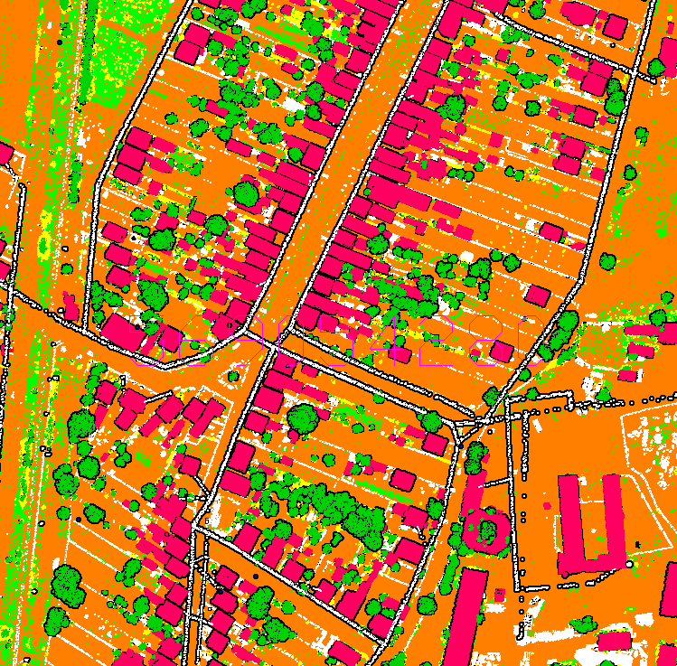
We provide imaginative and practical advice for urban development, managing projects from initial study to completion. Our data supports zoning, transportation network design, and policy implementation, ensuring the orderly and strategic development of communities.