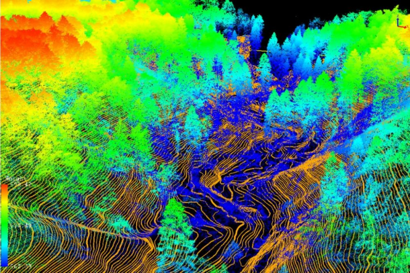
While UAV point clouds are often converted into standard raster models (DEM, DSM), we unlock their full potential by processing the raw, dense datasets to characterize vegetation structure. This approach is critical for measuring canopy height, tree crown diameter, and detecting individual trees for precision agriculture and forestry.
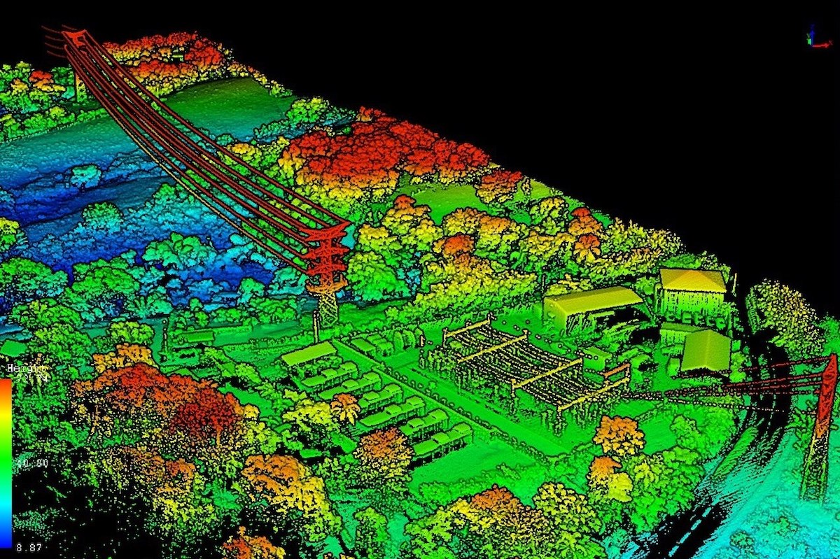
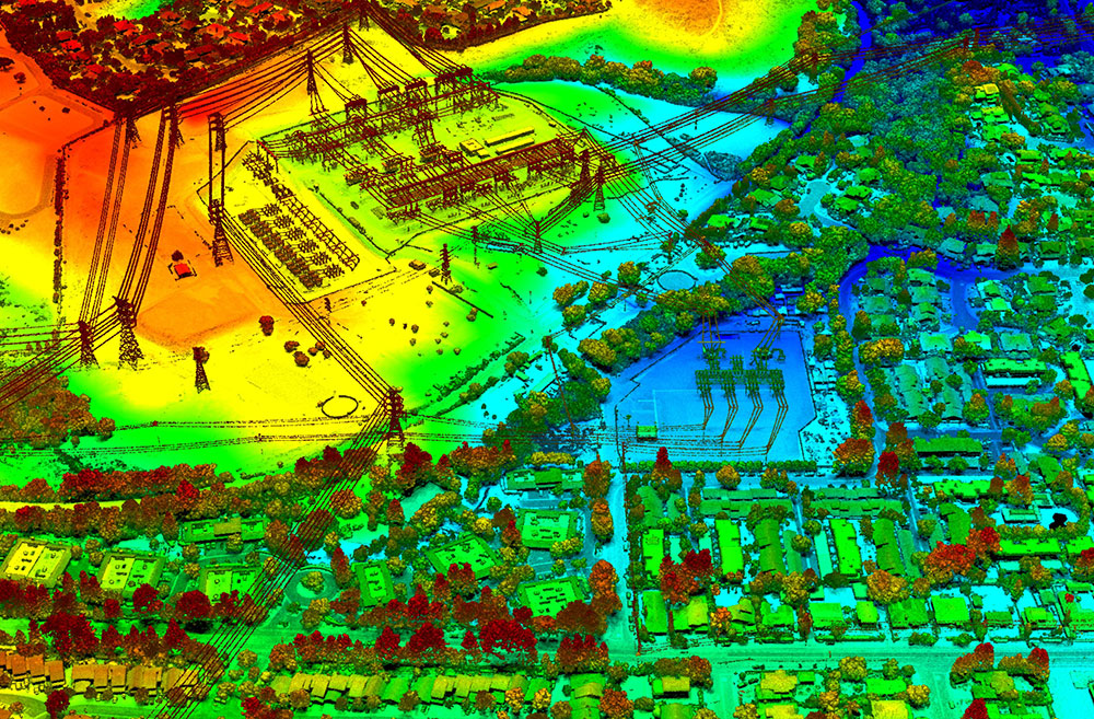
With years of experience in mapping services, we manually extract UAV points to meet your exact horizontal and vertical accuracy requirements. Our team constantly scales to adopt new tools, providing best-in-industry services for agricultural and environmental monitoring.