LiDAR Bathymetry Mapping enables the seamless survey of land and water interfaces. We process bathymetric LiDAR data to map underwater topography, riverbeds, and coastal zones. This service is crucial for coastal management, harbor design, and understanding aquatic environments, providing a continuous model from land into water.
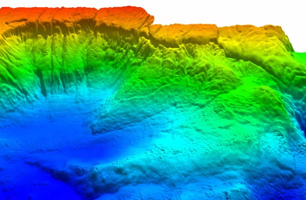
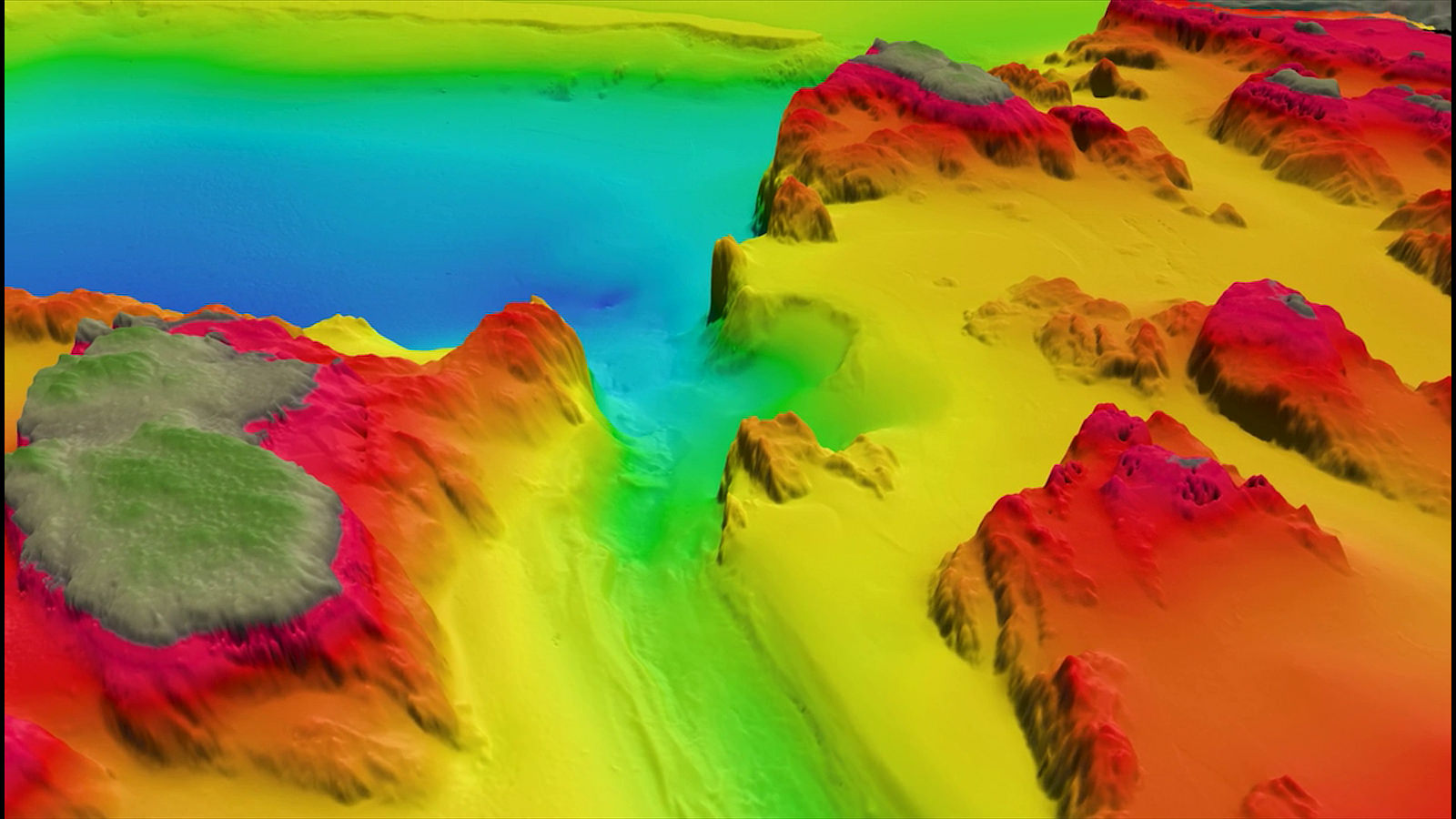
Understanding what lies beneath the water's surface is vital for coastal resilience. Our bathymetric processing bridges the gap between terrestrial and aquatic data, creating a unified model of the coastal environment.